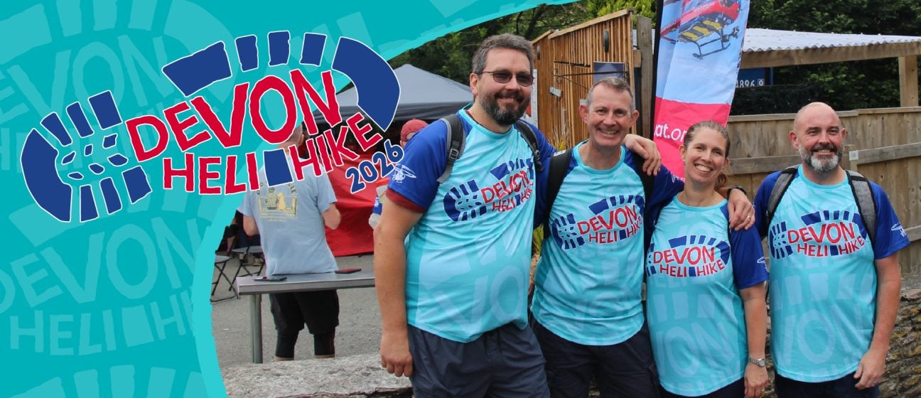
Excitement increases as walkers look forward to this year's Heli Hike
Take on a life-saving walk to raise awareness and vital funds for the local air ambulance
We are calling on walking enthusiasts to sign up and join our lifesaving walking challenge, The Devon Air Ambulance Heli Hike.
Following the success of our first Heli Hike last year, the fundraiser is back and even bigger with the addition of a brand new 6-mile route.
Starting on the South Devon coast at Bigbury on Saturday July 4th, hikers from across the country are invited to choose between walking a 6-mile route, 14-mile hike, or take on the ultimate 26-miler.
Stunning scenery
Walkers will take in some of Devon’s most stunning stretches of the South West Coast Path. Beginning in Bigbury, and winding around South Devon, where they will discover stunning spots including seascapes over Burgh Island, picturesque scenes of the Avon Estuary and views of Malthouse Point.
Expect steep climbs, narrow paths, stiles and steps while every ounce of effort will be rewarded with jaw-dropping panoramic views and the knowledge and reward that they are helping to raise awareness and vital funds for a lifesaving local charity.
Last year, a team from local company Red Rock Electrical took part. Matt Simmons, Managing Director said:
Our company had been wanting to do something to raise money for the Devon Air Ambulance for a while. We heard the advert for Devon Heli Hike on the radio and thought it was the perfect opportunity. A group of employees and friends took on the 26-mile hike. It was a harder challenge than a lot of us expected, but the achievement outweighed all the aches and pains. The event is well organised, and we thoroughly enjoyed the celebratory glass of bubbles at the finish line!
Routes and elevation
6 Mile Route – A shorter route, but still tough, with steep climbs, stiles and uneven ground, this route is short but mighty. Children are welcome on this route but would recommend 13 and above, due to the challenging route. Total Elevation 1138ft.
14 Mile Route – Rated “Tough” – with steep climbs and mixed terrain. Total Elevation 2561ft
26 Mile Route – “Tough” – just like our 2025 Jennycliff Route, this 26 miler will challenge you. With steep climbs and uneven ground. Total Elevation 4833ft
What you need to know
All participants agree to raise a minimum of £200. Once you hit your target, you’ll secure your free T-shirt and water bottle.
Walkers under 18 must be accompanied by their responsible adult and sign up using their adult’s contact details.
Your Digital Event Pack includes maps, elevation graphs, kit lists, and everything you need to take on the challenge.